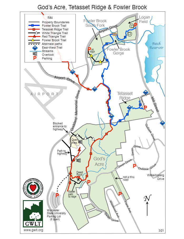
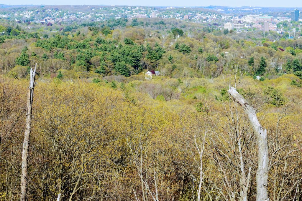
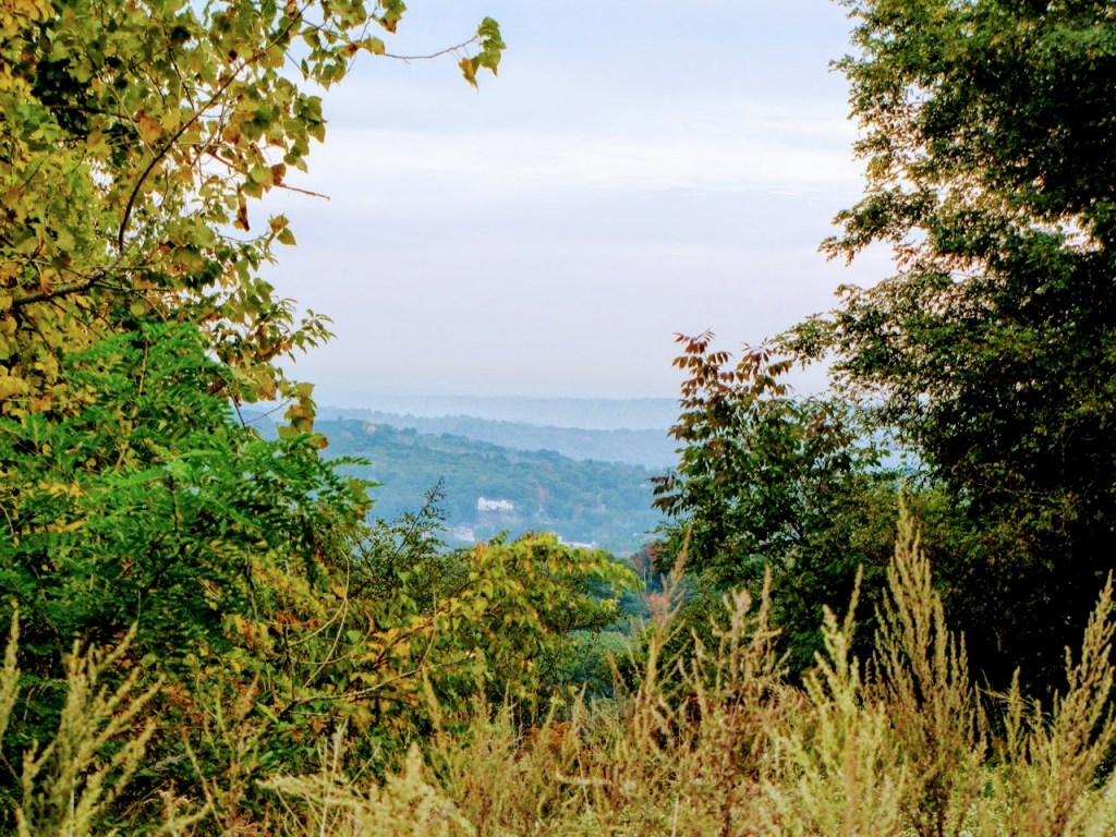
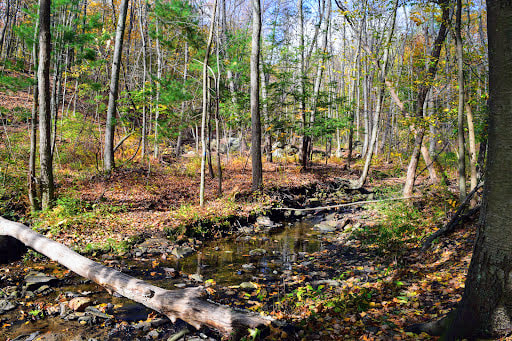
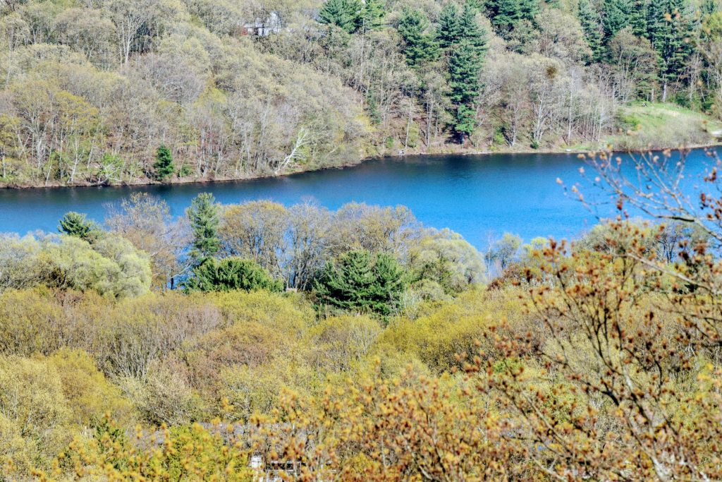
Tetasset RidgeTetasset Ridge includes the property known as “God’s Acre”, which offers a vast scenic vista across Worcester. To reach the overlook you’ll pass through a corridor of paper birches and mountain laurel. At the base of this steep hill is Deed Rock, where you can read Solomon Parson’s deed of the land to God in 1840. Tetasset Ridge also connects to Fowler Brook Gorge, which features a stream-cut ravine.
Want to make your visit count? Join the Hike Worcester Challenge! For a complete trail guide see Places to Hike in Greater Worcester Quick Facts
Acreage: 59 Consists of: God’s Acre or Deed Rock, Tetasset Ridge, Fowler Brook Gorge and Fowler Brook South Fork Type: Fee Location(s): Airport Drive (Fowler Brook South Fork), Esper Avenue (Tetasset Ridge), Spring Lane (Sherer Trail), Worcester Established:12/20/1996 (Marois 28), 4/26/2013 (Fowler Brook), 12/21/2010 (Sherer Trail), 2/9/2012 (Tetasset Ridge) Features: Woodland, woodland slope, vernal pool habitat, riparian habitat, hardwood forest; NHESP species present (salamander) and wetland, frontage on Airport Drive, Spring Lane & Sherer Trail, Tetasset Trail Network Parking: Parking on the access road to West of Swan Ave. Frontage parking on both sides of Mill Street near Logan Field. Limited parking at the end of Esper & Paris Ave. |
- Home
- About
-
Lands & Trails
- 4-Town Greenway
- Asnebumskit Ridge
- Blueberry Hill
- Bovenzi Park
- Boylston
- Broad Meadow Brook
- The Cascades
- Coes Reservoir
- Cook’s Brook
- Cook’s Pond
- Crow Hill
- Curtis Pond Overlook
- Difley Family Forest
- Donker Farm
- East Side Trail
- Green Hill Park
- Kettle Brook
- KinneyWoods
- Moreland Woods
- Muir Meadow
- Nick’s Woods
- Parson’s Cider Mill
- Patch Reservoir Environmental Field Station
- Pine Glen
- Pleasant & Winslow
- Roosevelt Oak
- Southwick Pond
- Tetasset Ridge
- North Worcester
- Central Worcester
- South Worcester
- East Worcester
- West Worcester
- Leicester
- Spencer
- West Boylston
- Support Us
- News & Events
- Resources
- GWLT Store
The Greater Worcester Land Trust
The Greater Worcester Land Trust
(508) 795 - 3838 | [email protected]
4 Ash Street, Worcester, MA 01608
(508) 795 - 3838 | [email protected]
4 Ash Street, Worcester, MA 01608

